OUTDOORSYUGANDA
Sign In+256 709 742238
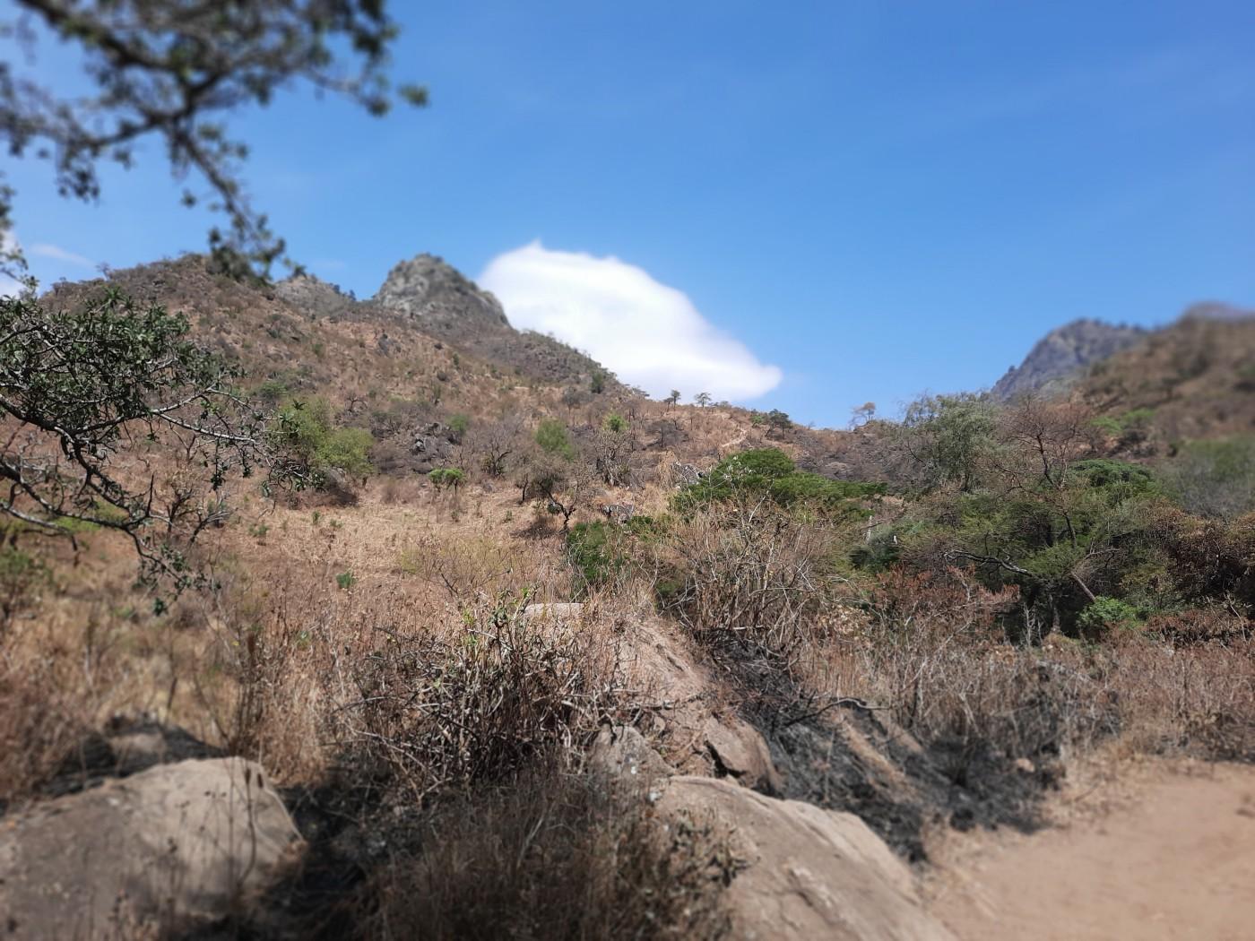
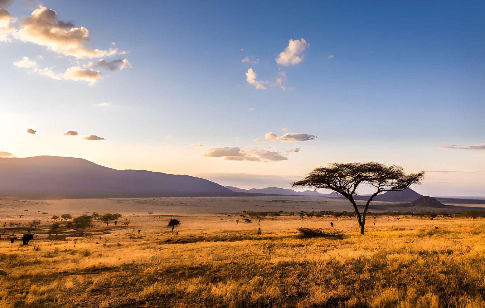
Uganda landscape

Uganda's Wild Places

The Pearl
of Africa

Glacial peaks and ancient forests. Sacred springs and colonial crossroads. Uganda holds more wild beauty per square kilometre than almost anywhere on Earth.

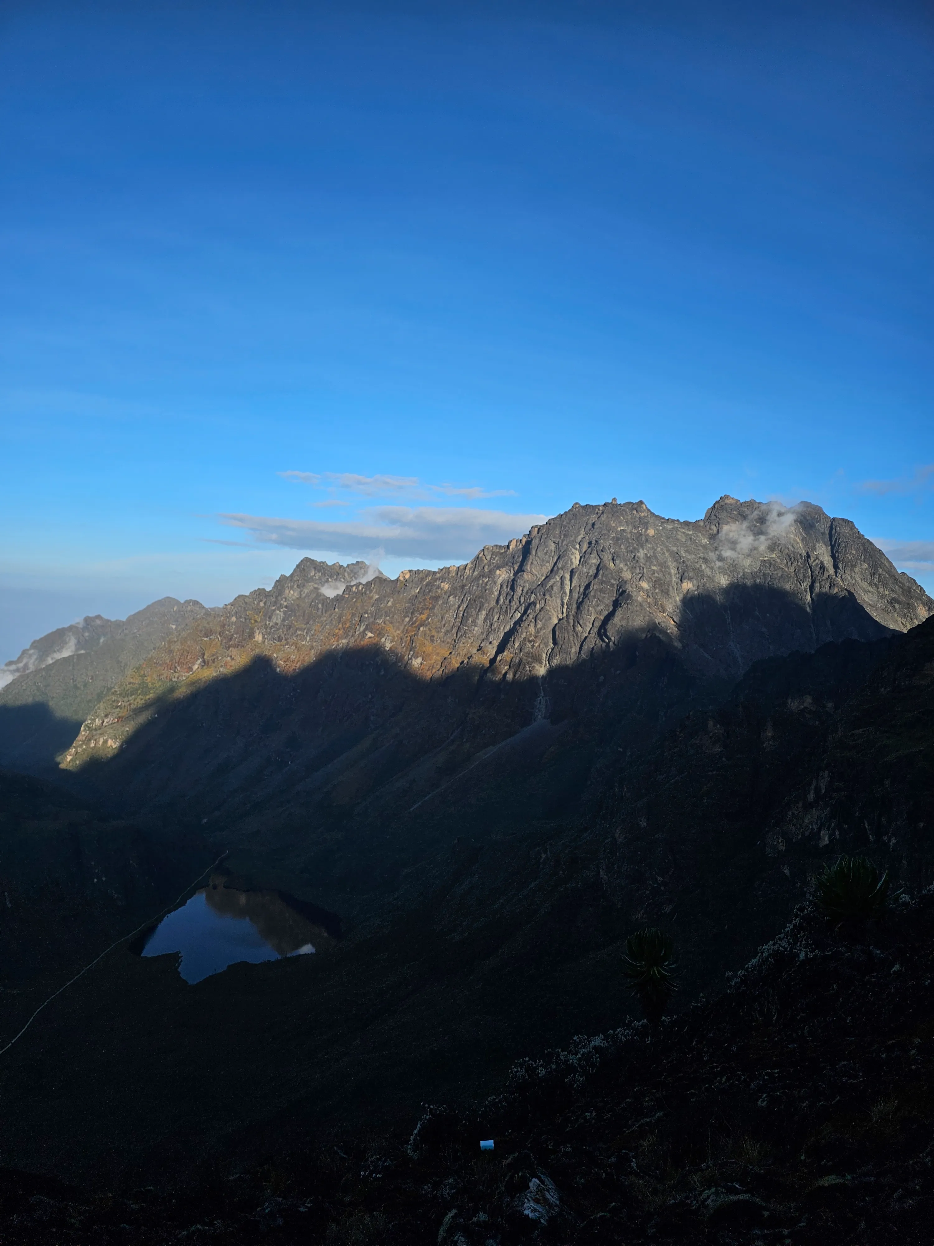
Mount Stanley
Highest Peak · 5,109m · 3rd in Africa
Rwenzori Range, Western Uganda

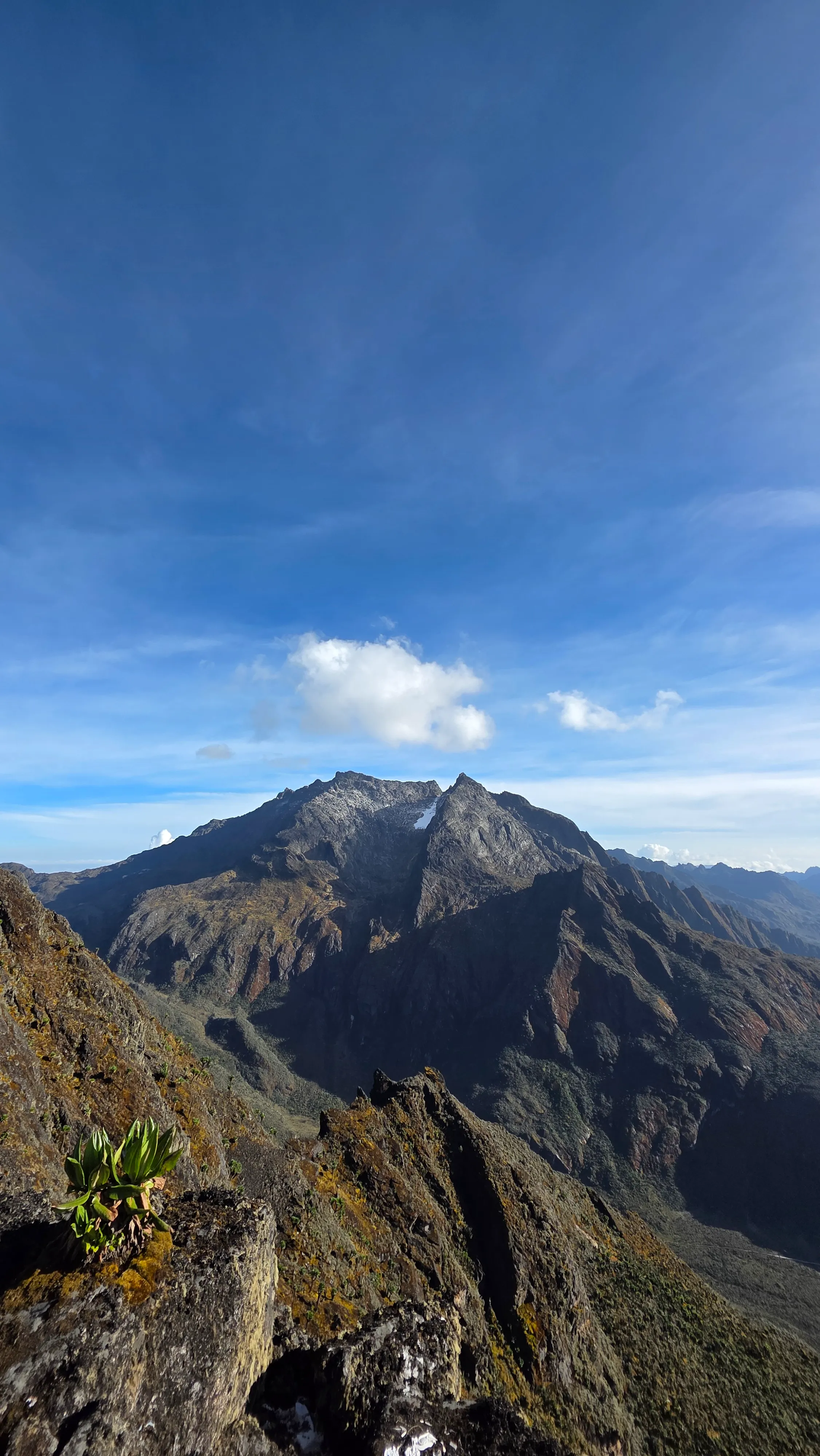
Mount Stanley

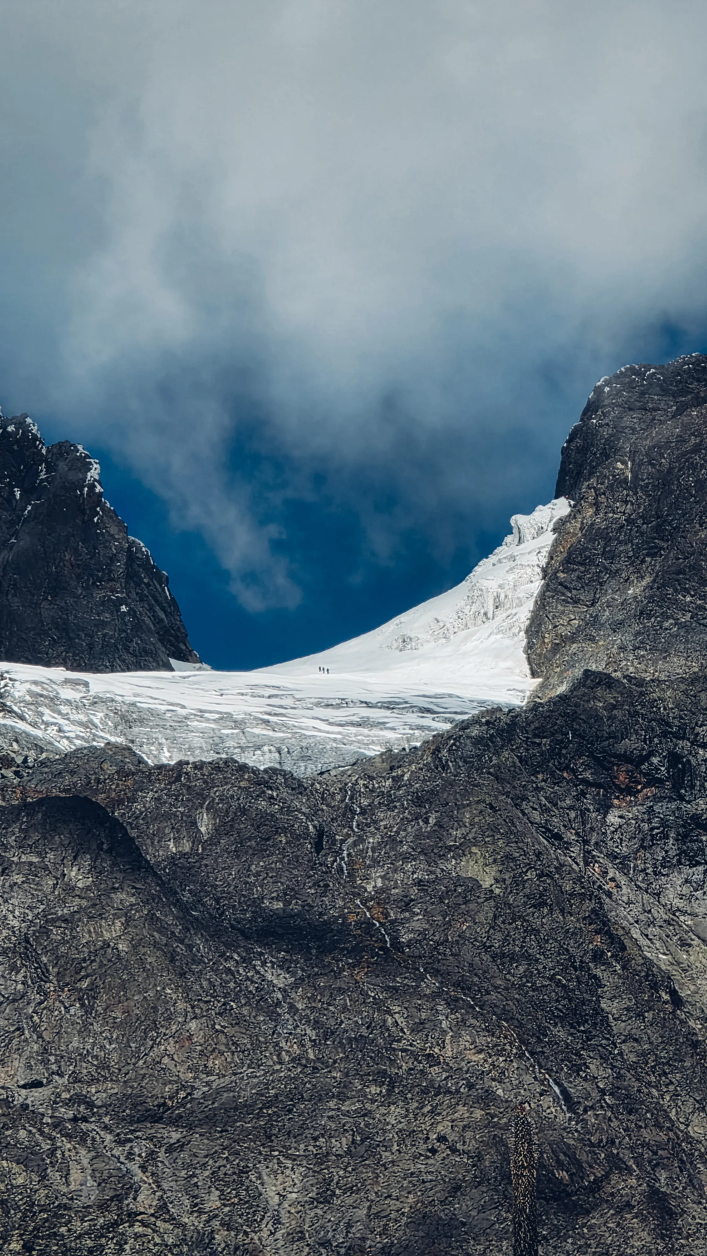
Africa's third highest peak, glaciated, mist-shrouded and endlessly dramatic.

Mount Stanley is Uganda's and the Rwenzori range's highest peak, rising to 5,109m at Margherita Peak, the third highest point in Africa after Kilimanjaro and Mount Kenya. Named for the explorer Sir Henry Morton Stanley who was the first European to discover the Rwenzoris in 1888, the…

Altitude5,109m
Rank Africa3rd highest
Trek8 days
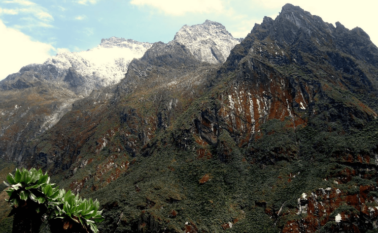
Mount Speke
Rwenzori · 4,890m · Technical Climb
Rwenzori Range, Western Uganda

Mount Speke

Second highest in Uganda, a technical glaciated peak for experienced mountaineers.

Mount Speke, standing at 4,890m at its Vittorio Emanuele summit, is the second highest mountain in Uganda and the Rwenzori range. Named after the British explorer John Hanning Speke who mapped the source of the White Nile, it forms a dramatic triangle with Mount Stanley and Mount Bake…

Altitude4,890m
SummitVittorio Emanuele
TypeTechnical climb
Mount Baker (Kiyanja)
Rwenzori · 4,844m · 6th in Africa
Rwenzori Range, Western Uganda

Mount Baker (Kiyanja)

The sixth highest mountain in Africa, locally called Kiyanja, meaning "the mountain."

Mount Baker, locally known as Kiyanja, rises to 4,844m at Edward Peak and is the third highest mountain in Uganda and the sixth highest in Africa. It was first summited in 1906 by an expedition led by Prince Luigi Amedeo, Duke of the Abruzzi, the same Italian mountaineer who first sum…

Altitude4,844m
First summit1906
Rank Africa6th highest
Mount Gessi
Rwenzori · 4,715m · Twin Peaks
Rwenzori Range, Western Uganda

Mount Gessi

Uganda's fourth highest mountain, twin peaks of Lolanda and Bottego above the Bujuku Valley.

Mount Gessi stands at 4,715m with twin peaks named Lolanda and Bottego. It is Uganda's fourth highest mountain, located along the Uganda-DRC border to the north of the triangle formed by Stanley, Speke and Baker. The mountain forms part of the spectacular upper Rwenzori landscape wher…

Altitude4,715m
PeaksLolanda & Bottego
RangeRwenzori
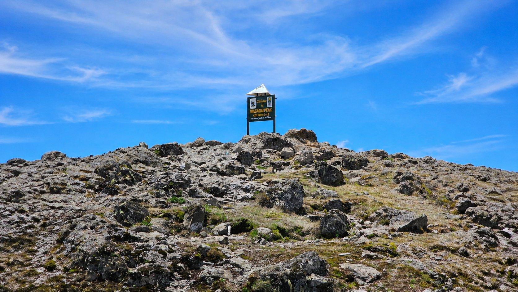
Mount Elgon
Extinct Volcano · 4,321m · Largest Caldera
Eastern Uganda · Kenya Border

Mount Elgon

Africa's oldest volcano, elephant caves, cascading falls and a 40km caldera.

Mount Elgon is a geological wonder, the remains of what was once Africa's highest mountain, its summit collapsed to form one of the world's largest intact calderas, measuring over 40km across at its widest. Standing at 4,321m at Wagagai Peak, the mountain straddles the Uganda-Kenya bo…

Altitude4,321m
Caldera40km wide
Age24M years
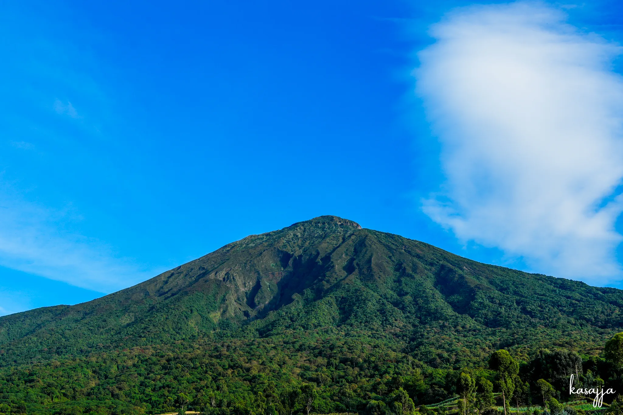
Mount Muhabura
Virunga · 4,127m · "The Guide"
Mgahinga, Southwest Uganda

Mount Muhabura

"The Guide", a perfect volcanic cone with a crater lake, visible from Lake Mutanda.

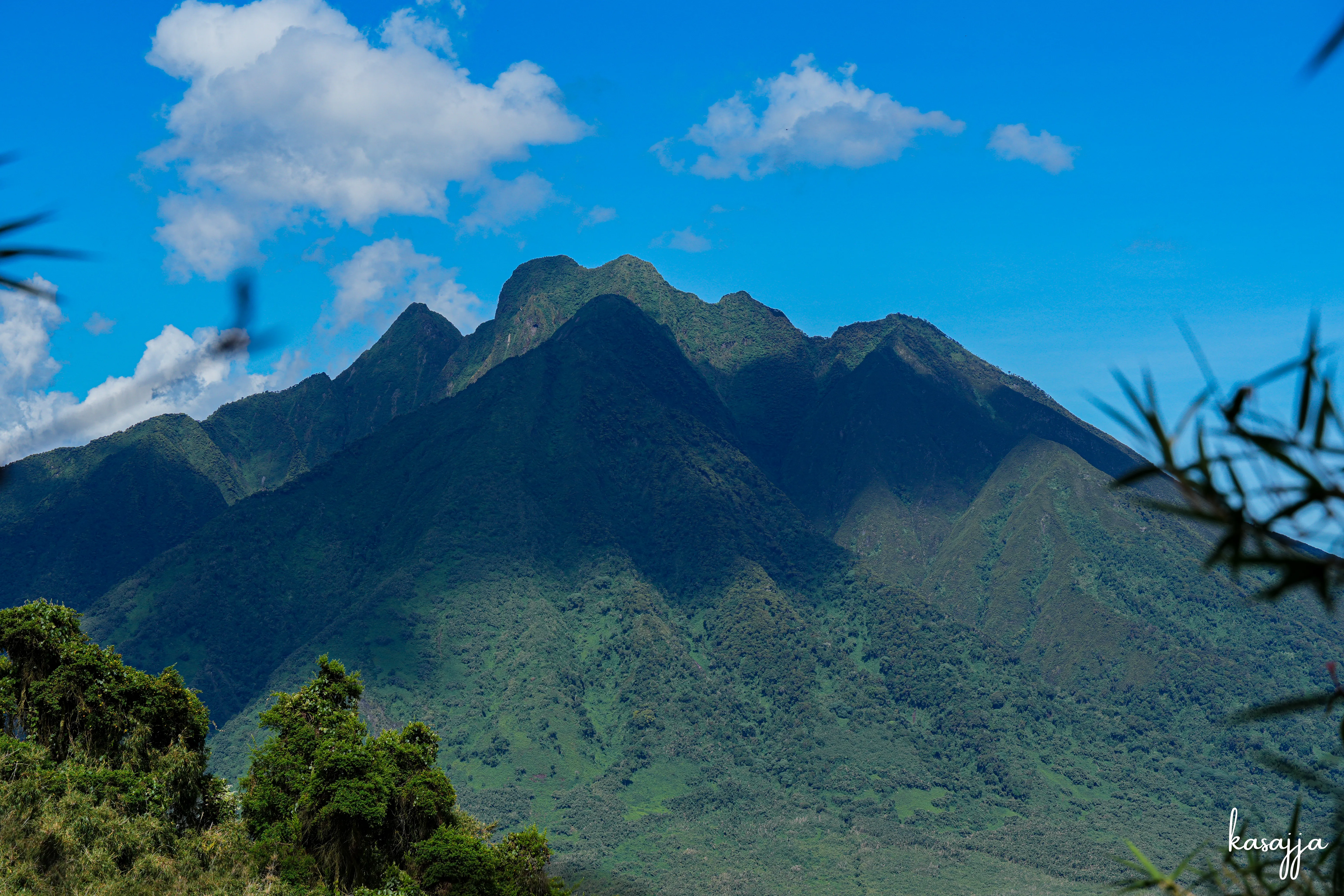
Mount Muhabura, meaning "the guide" in Kinyarwanda, is an extinct volcano standing at 4,127m on the Uganda-Rwanda border, named for the way it served as a navigational landmark for ancient travellers. It is the third highest of the eight major Virunga Mountains and one of Uganda's mos…

Altitude4,127m
Trek1 day
SummitCrater lake
Mount Sabyinyo
Virunga · 3,669m · Three Countries
Mgahinga, Southwest Uganda

Mount Sabyinyo

Stand in Uganda, Rwanda and DRC simultaneously, the "Old Man's Teeth" volcano.

Mount Sabyinyo, meaning "the old man's teeth" in Kinyarwanda, a reference to its jagged eroded peaks, is one of the most challenging and spectacular hikes in the Virunga range. The mountain marks the point where Uganda, Rwanda and the DRC meet, and the third and highest peak at 3,669m…

Altitude3,669m
BordersUganda, Rwanda, DRC
DifficultyChallenging
Mount Gahinga
Virunga · 3,473m · Beginners Welcome
Mgahinga, Southwest Uganda

Mount Gahinga

The most accessible Virunga peak, bamboo forests, golden monkeys and a swampy caldera.

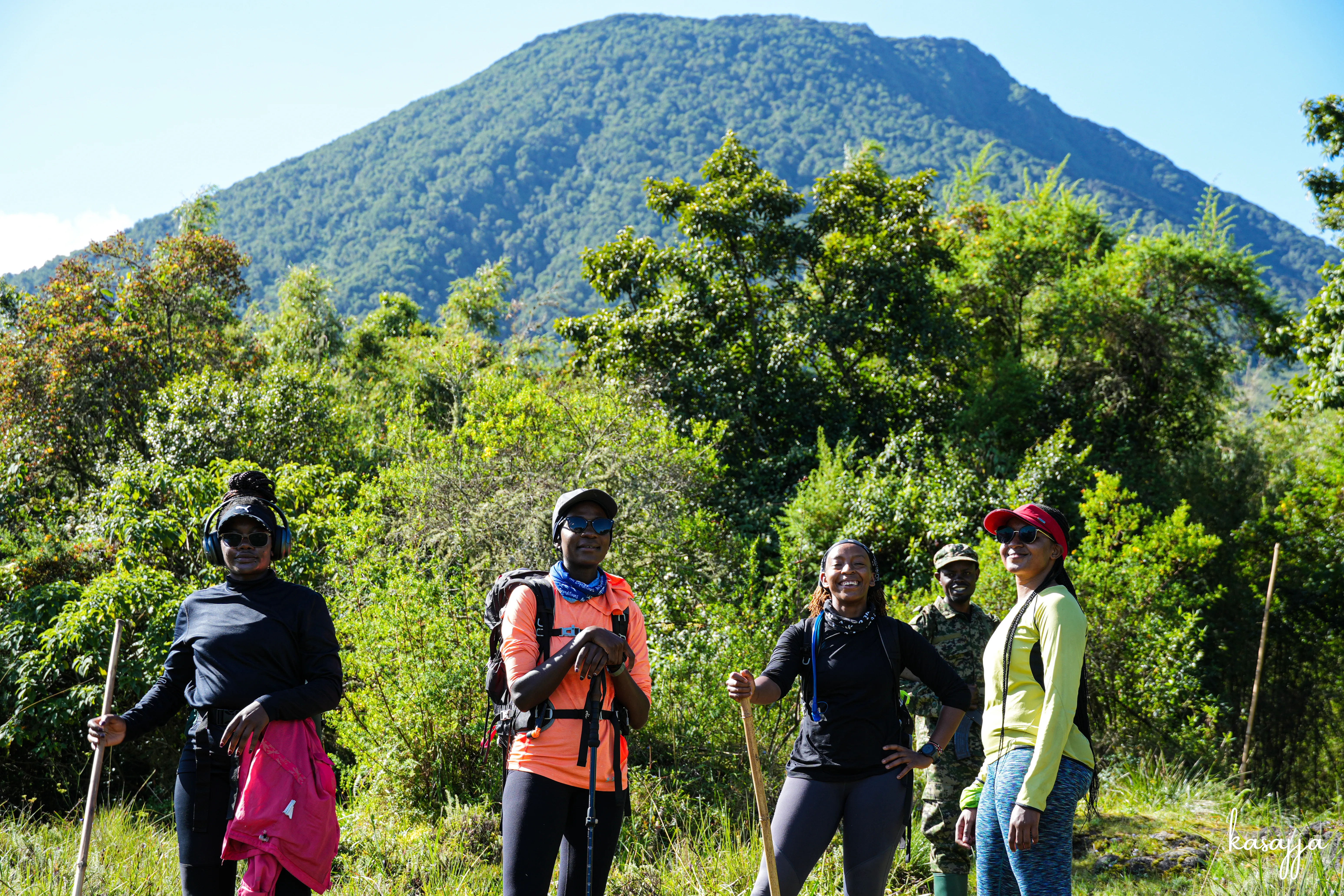
Mount Gahinga, derived from the Kinyarwanda word for "a small pile of stones," is the smallest of Uganda's three Virunga peaks at 3,473m, nestled between Muhabura and Sabyinyo. Its gentle trail through bamboo forest makes it one of Uganda's most accessible mountain hikes, ideal for fi…

Altitude3,473m
Caldera180m wide
TrekHalf day
Mount Moroto
Ancient Volcano · 3,083m · Hidden Gem
Karamoja, Northeastern Uganda

Mount Moroto

Rising from the golden plains of Karamoja, home to the Tepeth people and 220 bird species.

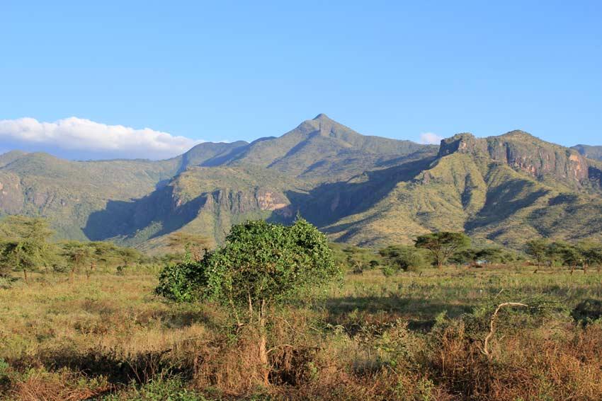
Mount Moroto, whose native name "Moru To" means "the western mountain," rises to 3,083m from the semi-arid plains of northeastern Uganda's Karamoja region. It is the highest of the volcanic chain that runs along Uganda's border with Kenya, which also includes Mount Kadam and Mount Mor…

Altitude3,083m
Birds220+ species
RegionKaramoja
Mount Kadam
Karamoja · 3,063m · Libo Summit
Nakapiripirit, Northeastern Uganda

Mount Kadam

Second highest in Karamoja, terraced farmlands, Pokot culture and wilderness solitude.

Mount Kadam, formerly known as Debasien during the colonial period, rises to 3,063m at its Libo summit near the town of Nakapiripirit on the Kenyan border. It is the second highest mountain in the Karamoja region, sitting in one of Uganda's least-visited areas, a factor that makes it…

Altitude3,063m
Trek2 days
RegionNakapiripirit
Mount Morungole
Sacred Mountain · 2,749m · Ik People
Kidepo Valley, Northern Uganda

Mount Morungole

Ancestral home of the Ik people, one of Uganda's most culturally profound mountain journeys.

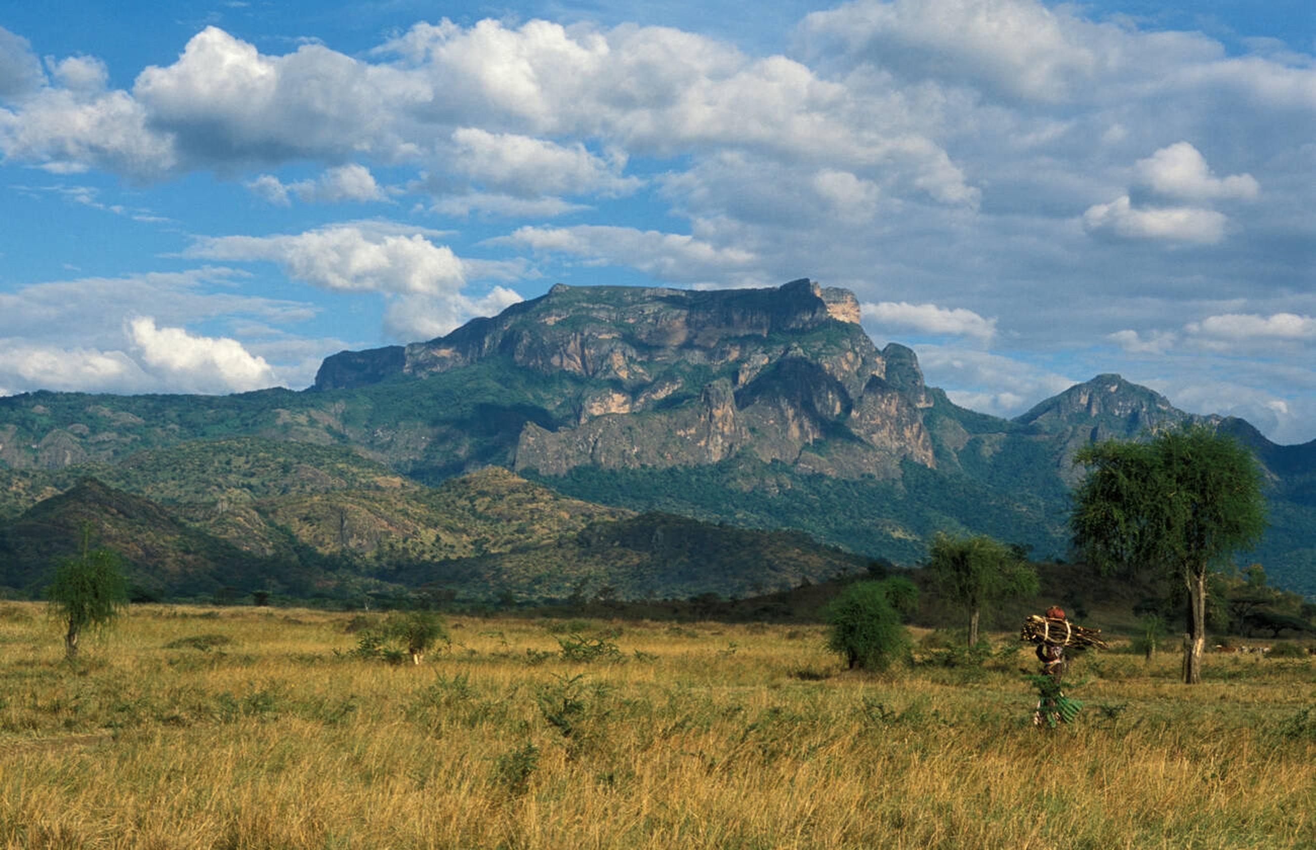
Mount Morungole rises to 2,749m in Kidepo Valley National Park in northern Uganda, one of Africa's most remote and spectacular wilderness areas. The mountain is not merely a geographical feature, it is the ancestral home and spiritual centre of the Ik people, one of Uganda's smallest…

Altitude2,749m
Trek8–13 hours
CultureIk people

Guided hikes live in their own section. Explore destinations here, then browse actual trail departures separately.

Browse hikes separately